Busque também em nossas outras coleções:

Tipo de arquivo:

Tipo do arquivo:

Orientação:

Total de Resultados: 134

Página 1 de 2

PIX5973668 Ice coverage in Arctic regions on September 23, 2018, has its minimum coverage for 2018 (4.59 million square kilometres).
DC
PIX4659628 Earth: Arctic ice melting - 2010 - Arctic sea ice minimum area for 2010 - Minimum ice cover on Arctic regions in September 2010. Image obtained from observations made by the DMSP satellite. The image shows the minimum sea ice concentration over the Arctic Circle, acquired on September 17, 2010 by the DMSP Special Sensor Microwave Imager (SSMI)
DC
UIG529552
DC
PIX4630494 Arctic ice has its minimum - September 2016 - 2016: the second lowest Arctic sea ice minimum - Arctic ice cover on 10 September 2016, has its minimum extent for 2016 (4.14 million square kilometres). The first six months of 2016 are the hottest since 1880. On September 10, Arctic sea ice extent stood at 4.14 million square kilometers (1.60 million square miles). This appears to have been the lowest extent of the year and is tied with 2007 as the second lowest extent on record. This year's minimum extent is 750,000 square kilometers (290,000 square miles) above the record low set in 2012 and is well below the two standard deviation range for the 37-year satellite record. Satellite data show extensive areas of open water in the Beaufort and Chukchi seas, and in the Laptev and East Siberian seas
DC
PIX4659602 Earth: Arctic Ice Melting - 1979 - 2005 - 2009 - Sea ice in Arctic - 1979 - 2005 - 2009 - Comparison of minimum ice cover for Arctic regions in September 1979 (bottom), September 2005 (middle), and September 2009 (top). Images obtained from observations made by the DMSP satellite. The image shows a comparison of the minimum sea ice concentration over the Arctic Circle, acquired in september 1979 (bottom), september 2005 (middle) and september 2009 (top) by the DMSP Special Sensor Microwave Imager (SSMI)
DC
PIX4659667 Earth: Arctic ice melting - 1979 - 2012 - Sea ice in Arctic - 1979 - 2012 - Comparison of minimum ice cover for Arctic regions in September 1979 (bottom) and September 2012 (top). Images obtained from observations made by the DMSP satellite. The image shows a comparison of the minimum sea ice concentration over the Arctic Circle, acquired in september 1979 (bottom) and september 2012 (top) by the DMSP Special Sensor Microwave Imager (SSMI)
DC
PIX5973669 Ice coverage in Arctic regions on September 23, 2018, has its minimum coverage for 2018 (4.59 million square kilometres). In red, the average extent of Arctic ice for 30 years, from 1981 to 2010.
DC
PIX4659634 Earth: Arctic Ice Melting - 1983 - 2013 - Sea ice in Arctic - 1983 - 2013 - Ice Coverage in Arctic Regions September 13, 2013. Superimposed, the trace of the average size of the pack ice recorded by satellites from 1983 to 2013. The Arctic sea ice on September 12, 2013 with a yellow line identifying the 30 - year average extent
DC
PIX4631950 Earth on star background - Europe - Earth with starry sky - Europe - Image of the Earth recomposed from different satellite images. A star background has been added. Composite images obtained with data collected from several satellites. A starry sky background was added
DC
UIG601897 King Oscar Fjord located in Greenland National Park. The pastel blue indicates that the water has turned into ice. Image taken on 21 June 1991 using LANDSAT data.
DC
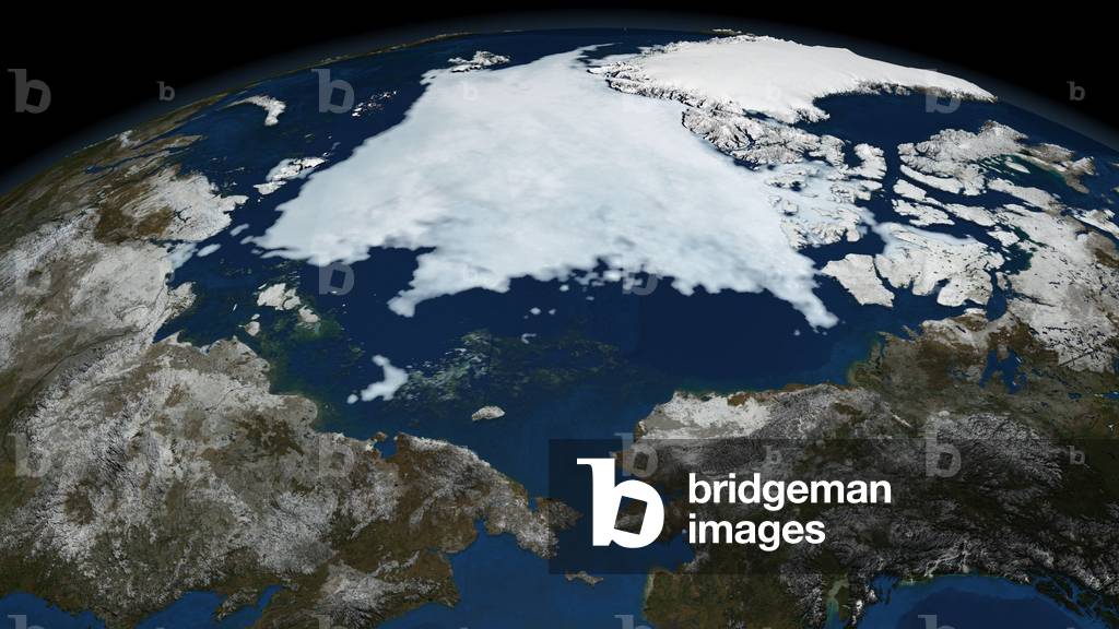
UIG601607 Cloudless true colour satellite image of the Earth, centred on the Arctic or north polar region. The Arctic region consists of an ice-covered ocean which is almost wholly surrounded by large land masses. The image used data from LANDSAT 5 & 7 satellites. Print size 42x42cm.
DC
PIX4659599 North pole by satellite - September 9, 2008 - Arctic sea ice - September 9, 2008 - Arctic ice coverage September 9, 2008. Image based on data obtained by the Aqua satellite. This image shows the sea ice that occurred on September 9, 2008. Sea ice is frozen seawater floating on the surface of the ocean. Some sea ice is semi-permanent, persisting from year to year, and some is seasonal, melting and refreezing from season to season. The sea ice cover reaches its minimum extent at the end of each summer and the remaining ice is called the perennial ice cover. Image made from Aqua satellite instrument
DC
PIX4659616 North pole by satellite - March 11, 2008 - Arctic sea ice - March 11, 2008 - Ice coverage in Arctic regions March 11, 2008. Image based on data obtained by the Aqua satellite. This image shows the sea ice that occurred on March 11, 2008. Sea ice is frozen seawater floating on the surface of the ocean. Some sea ice is semi-permanent, persisting from year to year, and some is seasonal, melting and refreezing from season to season. The sea ice cover reaches its minimum extent at the end of each summer and the remaining ice is called the perennial ice cover. Image made from Aqua satellite instrument
DC
PIX4631978 Earth by satellite - Asia and Australia - Earth from space. Asia and Australia - Image of the Earth recomposed from data obtained by different satellites. Composite image of the Earth combining data from different satellite sensors
DC
UIG601598 True colour cloudless satellite image of the whole Earth, with Arctiv pack ice, shown in geographic projection. This image was compiled from data acquired by LANDSAT 5 & 7 satellites.
DC
UIG522144 Satellite view of Sweden (with border). This image was compiled from data acquired by LANDSAT 5 & 7 satellites.
DC
PIX4631843 Earth with starry sky - Earth with starry sky - Image of the Earth recomposed from different satellite images. The extent of the ice at the north pole dates from September 15, 2008. A star background has been added. Composite image obtained with data collected from Terra and Aqua satellites. The image of sea ice in north pole was taken on September 15 2008. A starry sky background was added
DC
UIG3275144 Satellite view of Sweden (with country boundaries and mask). This image was compiled from data acquired by Landsat satellites.
DC
UIG528414
DC
PIX4631875 Earth with starry sky - Earth with starry sky - Image of the Earth recomposed from different satellite images. The extent of the ice at the north pole dates from September 15, 2008. A star background has been added. Composite image obtained with data collected from Terra and Aqua satellites. The image of sea ice in north pole was taken on September 15 2008. A starry sky background was added
DC
PIX4631879 Earth with starry sky - Earth with starry sky - Image of the Earth recomposed from different satellite images. A star background has been added. Composite images obtained with data collected from Terra and Aqua satellites. A starry sky background was added
DC
UIG522143 Satellite view of Sweden (with border and mask). This image was compiled from data acquired by LANDSAT 5 & 7 satellites.
DC
UIG3275143 Satellite view of Svalbard, Norway. It is a Norwegian archipelago in the Arctic Ocean. This image was compiled from data acquired by Landsat satellites.
DC
UIG3275146 Satellite view of Sweden (with country boundaries). This image was compiled from data acquired by Landsat satellites.
DC
UIG520756 Satellite view of Greenland (with border). This image was compiled from data acquired by LANDSAT 5 & 7 satellites.
DC
UIG522049 Satellite view of Russia (with border). This image was compiled from data acquired by LANDSAT 5 & 7 satellites.
DC
UIG3275082 Satellite view of Russia, with Arctic ice pack, showing neighbouring countries Belarus, Kazakhstan and Mongolia (with country boundaries). This image was compiled from data acquired by Landsat satellites.
DC
UIG520898 Satellite view of Greenland (with mask). This image was compiled from data acquired by LANDSAT 5 & 7 satellites.
DC
UIG3275081 Satellite view of Russia (with country boundaries and mask). This image was compiled from data acquired by Landsat satellites.
DC
UIG3275069 Satellite view of Russia (with administrative boundaries and mask). This image was compiled from data acquired by Landsat satellites.
DC
PIX4631841 Earth with starry sky - Earth with starry sky - Image of the Earth recomposed from different satellite images. The extent of the ice at the north pole dates from September 15, 2008. A star background has been added. Composite image obtained with data collected from Terra and Aqua satellites. The image of sea ice in north pole was taken on September 15 2008. A starry sky background was added
DC
UIG3275085 Satellite view of Russia, with neighbouring countries Belarus, Kazakhstan and Mongolia (with country boundaries). This image was compiled from data acquired by Landsat satellites.
DC
UIG522048 Satellite view of Russia (with border and mask). This image was compiled from data acquired by LANDSAT 5 & 7 satellites.
DC
UIG520757 Satellite view of Greenland (with border and mask). This image was compiled from data acquired by LANDSAT 5 & 7 satellites.
DC
UIG3275065 Satellite view of Siberia, Russia (with administrative boundaries and mask). This image was compiled from data acquired by Landsat satellites.
DC
UIG3275067 Satellite view of Siberia, Russia (with country boundaries). This image was compiled from data acquired by Landsat satellites.
DC
UIG3275061 Satellite view of Siberia, Russia (with country boundaries and mask). This image was compiled from data acquired by Landsat satellites.
DC
UIG520842 Satellite view of Canada (with mask). This image was compiled from data acquired by LANDSAT 5 & 7 satellites.
DC
UIG3274836 Satellite view of Russia Far Eastern (with country boundaries and mask). This image was compiled from data acquired by Landsat satellites.
DC
UIG520678 Satellite view of Canada (with border). This image was compiled from data acquired by LANDSAT 5 & 7 satellites.
DC
UIG3275080 Satellite view of Russia and Central Asia in winter, with partial snow cover and Arctic ice cap. This image was compiled from data acquired by Landsat 7 & 8 satellites.
DC
UIG3275083 Satellite view of Russia and Central Asia in winter, with partial snow cover and Arctic ice cap (with country boundaries). This image was compiled from data acquired by Landsat 7 & 8 satellites.
DC
UIG3275084 Satellite view of Russia and Central Asia in winter, with partial snow cover (with country boundaries). This image was compiled from data acquired by Landsat 7 & 8 satellites.
DC
UIG3274833 Satellite view of Russia Far Eastern (with country boundaries). This image was compiled from data acquired by Landsat satellites.
DC
UIG3275070 Satellite view of Russia and Central Asia in winter, with partial snow cover. This image was compiled from data acquired by Landsat 7 & 8 satellites.
DC
UIG520798 Satellite view of Sweden (with mask). This image was compiled from data acquired by LANDSAT 5 & 7 satellites.
DC
UIG3274843 Satellite view of Russia Far Eastern (with administrative boundaries and mask). This image was compiled from data acquired by Landsat satellites.
DC
UIG520587 Satellite view of Sweden (with border). This image was compiled from data acquired by LANDSAT 5 & 7 satellites.
DC
UIG520679 Satellite view of Canada (with border and mask). This image was compiled from data acquired by LANDSAT 5 & 7 satellites.
DC
PIX4659652 Earth: Melting Arctic Ocean Ice - Image obtained on 16 June 2001 by the Landsat satellite - 7
DC
PIX4659605 Earth: Arctic Ice Melting - 1979 - 2003 - Sea ice in Arctic 1979 - 2003 - Comparison of minimum ice cover for Arctic regions in 1979 (top) and 2003 (bottom). Image obtained from observations made by the DMSP satellite. The image above shows a comparison of composites over the Arctic Circle, acquired in 1979 (top) and 2003 (bottom) by the DMSP Special Sensor Microwave Imager (SSMI). The first image shows the minimum sea ice concentration for the year 1979, and the second image shows the minimum sea ice concentration in 2003
DC
UIG520588 Satellite view of Sweden (with border and mask). This image was compiled from data acquired by LANDSAT 5 & 7 satellites.
DC
UIG521073 True colour satellite image of the Earth centred on the North Pole with cloud coverage, during winter solstice at 6 p.m GMT. This image in orthographic projection was compiled from data acquired by LANDSAT 5 & 7 satellites.
DC
UIG521080 True colour satellite image of the Earth centred on the North Pole, at the equinox at 6 p.m GMT. This image in orthographic projection was compiled from data acquired by LANDSAT 5 & 7 satellites.
DC
UIG521067 True colour satellite image of the Earth centred on the North Pole with cloud coverage, during summer solstice at 12 p.m GMT. This image in orthographic projection was compiled from data acquired by LANDSAT 5 & 7 satellites.
DC
UIG521083 True colour satellite image of the Earth centred on the North Pole with cloud coverage, at the equinox at 12 p.m GMT. This image in orthographic projection was compiled from data acquired by LANDSAT 5 & 7 satellites.
DC
UIG521072 True colour satellite image of the Earth centred on the North Pole, during winter solstice at 6 p.m GMT. This image in orthographic projection was compiled from data acquired by LANDSAT 5 & 7 satellites.
DC
UIG521060 True colour satellite image of the Earth centred on the North Pole, during summer solstice at 6 a.m GMT. This image in orthographic projection was compiled from data acquired by LANDSAT 5 & 7 satellites.
DC
UIG521075 True colour satellite image of the Earth centred on the North Pole with cloud coverage, during winter solstice at 12 p.m GMT. This image in orthographic projection was compiled from data acquired by LANDSAT 5 & 7 satellites.
DC
UIG521061 True colour satellite image of the Earth centred on the North Pole with cloud coverage, during summer solstice at 6 a.m GMT. This image in orthographic projection was compiled from data acquired by LANDSAT 5 & 7 satellites.
DC
UIG521071 True colour satellite image of the Earth centred on the North Pole with cloud coverage, during winter solstice at 12 a.m GMT. This image in orthographic projection was compiled from data acquired by LANDSAT 5 & 7 satellites.
DC
UIG521078 True colour satellite image of the Earth centred on the North Pole, at the equinox at 12 a.m GMT. This image in orthographic projection was compiled from data acquired by LANDSAT 5 & 7 satellites.
DC
UIG521077 True colour satellite image of the Earth centred on the North Pole with cloud coverage, at the equinox at 6 a.m GMT. This image in orthographic projection was compiled from data acquired by LANDSAT 5 & 7 satellites.
DC
UIG521065 True colour satellite image of the Earth centred on the North Pole with cloud coverage, during summer solstice at 6 p.m GMT. This image in orthographic projection was compiled from data acquired by LANDSAT 5 & 7 satellites.
DC
UIG521066 True colour satellite image of the Earth centred on the North Pole, during summer solstice at 12 p.m GMT. This image in orthographic projection was compiled from data acquired by LANDSAT 5 & 7 satellites.
DC
UIG521079 True colour satellite image of the Earth centred on the North Pole with cloud coverage, at the equinox at 12 a.m GMT. This image in orthographic projection was compiled from data acquired by LANDSAT 5 & 7 satellites.
DC
UIG521064 True colour satellite image of the Earth centred on the North Pole, during summer solstice at 6 p.m GMT. This image in orthographic projection was compiled from data acquired by LANDSAT 5 & 7 satellites.
DC
UIG521082 True colour satellite image of the Earth centred on the North Pole, at the equinox at 12 p.m GMT. This image in orthographic projection was compiled from data acquired by LANDSAT 5 & 7 satellites.
DC
UIG521074 True colour satellite image of the Earth centred on the North Pole, during winter solstice at 12 p.m GMT. This image in orthographic projection was compiled from data acquired by LANDSAT 5 & 7 satellites.
DC
UIG521068 True colour satellite image of the Earth centred on the North Pole, during winter solstice at 6 a.m GMT. This image in orthographic projection was compiled from data acquired by LANDSAT 5 & 7 satellites.
DC
UIG521076 True colour satellite image of the Earth centred on the North Pole, at the equinox at 6 a.m GMT. This image in orthographic projection was compiled from data acquired by LANDSAT 5 & 7 satellites.
DC
UIG521062 True colour satellite image of the Earth centred on the North Pole, during summer solstice at 12 a.m GMT. This image in orthographic projection was compiled from data acquired by LANDSAT 5 & 7 satellites.
DC
UIG521069 True colour satellite image of the Earth centred on the North Pole with cloud coverage, during winter solstice at 6 a.m GMT. This image in orthographic projection was compiled from data acquired by LANDSAT 5 & 7 satellites.
DC
UIG521063 True colour satellite image of the Earth centred on the North Pole with cloud coverage, during summer solstice at 12 a.m GMT. This image in orthographic projection was compiled from data acquired by LANDSAT 5 & 7 satellites.
DC
UIG521070 True colour satellite image of the Earth centred on the North Pole, during winter solstice at 12 a.m GMT. This image in orthographic projection was compiled from data acquired by LANDSAT 5 & 7 satellites.
DC
UIG521081 True colour satellite image of the Earth centred on the North Pole with cloud coverage, at the equinox at 6 p.m GMT. This image in orthographic projection was compiled from data acquired by LANDSAT 5 & 7 satellites.
DC
PIX4672931 Harricana River - Canada - Harricana River - Canada - View of Harricana River, frozen and surrounded by snow, April 15, 2008, from the International Space Station (ISS). The Harricanaw River (Harricana river) seen with ice and snow on April 15, 2008 from the International Space Station
DC
UIG522141 Relief map of Sweden (with border and mask). This image was compiled from data acquired by landsat 5 & 7 satellites combined with elevation data.
DC
PIX4672957 James Bay and Harricana River in winter - Canada - Ice - covered Hannah Bay - Canada - South James Bay with Harricana River in the south, seen in winter, February 12, 2000, from Space Shuttle Endeavour. St James Bay, Ontario, Shorelines. Numerous shorelines around Hudson and St. James Bays are distinctive in winter because of snow cover. The area shown in this Shuttle image taken on 12 February 2000 is located in Hannah Bay, in the southern part of St. James Bay. The river is the Harricanaw River (Harricana river). Shorelines along the bay were created when the overlying glaciers retreated and the land underneath rebounded causing the Hudson/St James Bay waters to retreat northward. These ridges are 100 to 200 m in width and heights can reach up to 7 m. The land along St. James Bay consists mainly of tidal flats and salt marshes
DC
UIG522142 Relief map of Sweden (with border). This image was compiled from data acquired by LANDSAT 5 & 7 satellites combined with elevation data.
DC
PIX4659568 Earth: North pole by satellite - September 1979 - Ice coverage on Arctic regions September 21, 1979. Recomposed image from satellite data
DC
UIG3274430 Satellite view of the Bering Strait connecting the Pacific and Arctic oceans between Russia and the United States. This image was compiled from data acquired by Landsat satellites.
DC
PIX4659519 Earth: North pole by satellite 1980 - 2002 - Average ice coverage in Arctic regions for the month of March 1980 - 2002. Recomposed image from satellite data
DC
UIG5421011
DC
PIX4659530 Earth: North pole by satellite - September 1979 - 2001 - Average ice coverage in Arctic regions for September 1979 - 2001. Recomposed image from satellite data
DC
UIG5420991
DC
PIX4659553 Earth: North pole by satellite - October 21, 2002 - Ice coverage in Arctic regions October 21, 2002
DC
UIG522047 Relief map of Russia (with border). This image was compiled from data acquired by LANDSAT 5 & 7 satellites combined with elevation data.
DC
UIG522046 Relief map of Russia (with border and mask). This image was compiled from data acquired by landsat 5 & 7 satellites combined with elevation data.
DC
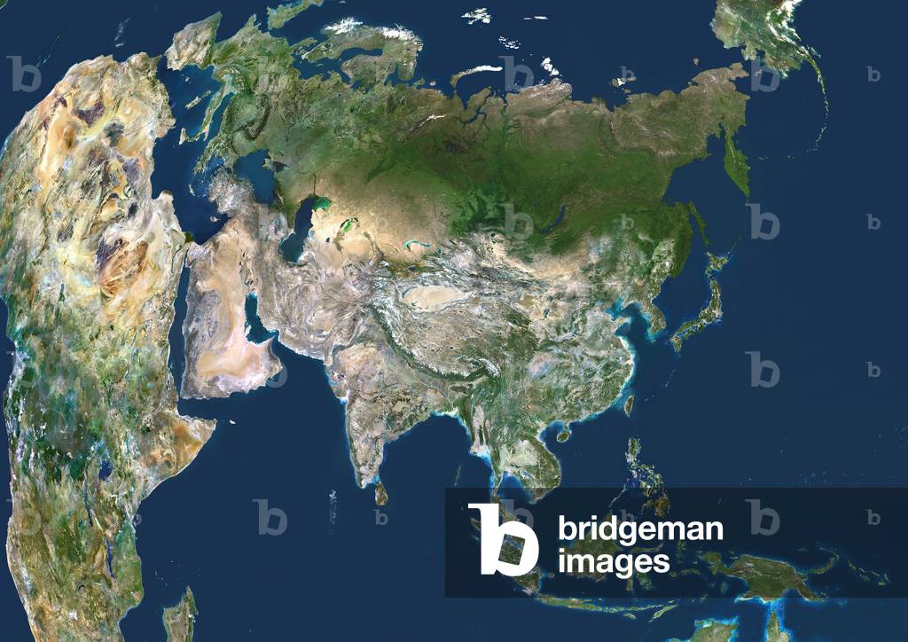
UIG5420989 True colour satellite image centred on Asia, with nearly all of Africa (down left) and Europe (upper left) seen. This image shows the curvature of the Earth, with north-south lines converging towards top. The terrain of Asia varies from deserts (brown, central and southern Asia), to tropical rainforests (dark green, South-East Asia and the Malay Archipelago), to grasslands, forests and tundra (lighter green, northern Asia), and mountain ranges (centre). Also seen is the Arctic (top), Alaska (top right), and the Pacific Ocean (right) and Indian Ocean (lower left). The image used data from LANDSAT 5 & 7 satellites
DC
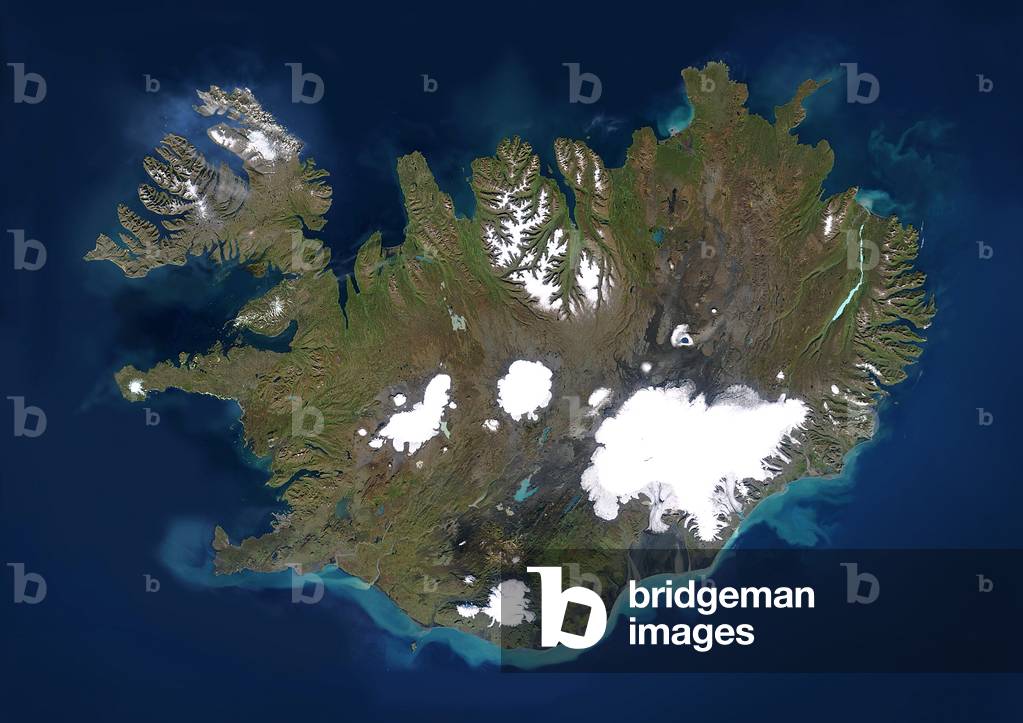
UIG601911 Iceland, satellite image. This is a European country surrounded by the northern Atlantic Ocean. It lies just south of the Arctic Circle. Its capital, Reykjavik (in the bay at centre left), is the northernmost in the world. Iceland has a population of around 300,000 (2006). It is situation on a plate boundary and is thus very geologically active. This allows it to derive a large amount of its energy from geothermal sources, which it supplements with hydroelectric power. Together they provide around 99% of the country's energy. Composite image using data from LANDSAT 5 & 7 satellites.
DC
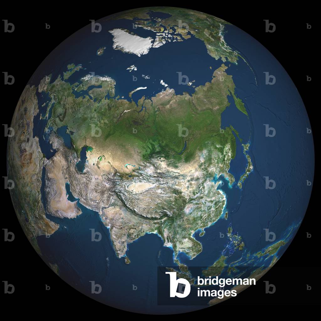
UIG601603 Earth. True colour satellite image of the Earth, centred on Asia. The North Pole is at upper centre. Water is blue, vegetation is green, arid areas are brown, and snow and ice are white. Both land and ocean floor topography are shown. The terrain of Asia varies from deserts (brown, central and southern Asia), to tropical rainforests (dark green, South- East Asia), to plains, forests and tundra (lighter green, northern Asia), and mountain ranges (lower centre). Surrounding mainland Asia (clockwise from top) is the Arctic Ocean (with Greenland and North America beyond), the Pacific Ocean, the Malay Archipelago and northern Australia, the Indian Ocean, north-eastern Africa, and Europe. The picture is a composite created from thousands of separate images recorded by LANDSAT 5 & 7 satellites. Print size 42x42cm.
DC
PIX4631746 Earth: North pole by satellite - The North pole of the Earth and the Arctic regions seen on April 23, 2003. Recomposed image from satellite data
DC
UIG3274377 Satellite view of Asia in winter, with partial snow cover and Arctic ice cap. This image was compiled from data acquired by Landsat 7 & 8 satellites.
DC
UIG5422193
DC
UIG3274387 Satellite view of Asia in winter, with partial snow cover and Arctic ice cap (with country boundaries). This image was compiled from data acquired by Landsat 7 & 8 satellites.
DC
PIX4659545 Earth: North pole by satellite - September 2004 - Arctic ice coverage for September 2004. In red, the trace of the average ice area around the pole from 1978 to 2002 has the same season. Recomposed image from satellite data
DC
UIG3274384 Satellite view of Asia with Arctic ice cap. This image was compiled from data acquired by Landsat 7 & 8 satellites.
DC
UIG3274389 Satellite view of Asia with country boundaries and Arctic ice cap. This image was compiled from data acquired by Landsat 7 & 8 satellites.
DC
UIG601648 Iceland, true colour satellite image. This is a European country surrounded by the northern Atlantic Ocean. It lies just south of the Arctic Circle. Its capital, Reykjavik (in the bay at centre left), is the northernmost in the world. The image used data from LANDSAT 5 & 7 satellites.
DC

Total de Resultados: 134

Página 1 de 2