Busque também em nossas outras coleções:

Tipo de arquivo:

Tipo do arquivo:

Orientação:

Total de Resultados: 65

Página 1 de 1

BL3300883 Venetia ... Per F. de Tomaso di Salò.Author: de Tomaso di Salo?, Francesco / Illustrator: de Tomaso di Salo?, FrancescoVenetia, [1540?]Source/Shelfmark: Maps*22670.(11)
DC
RGS63417 by Battista Agnese
DC
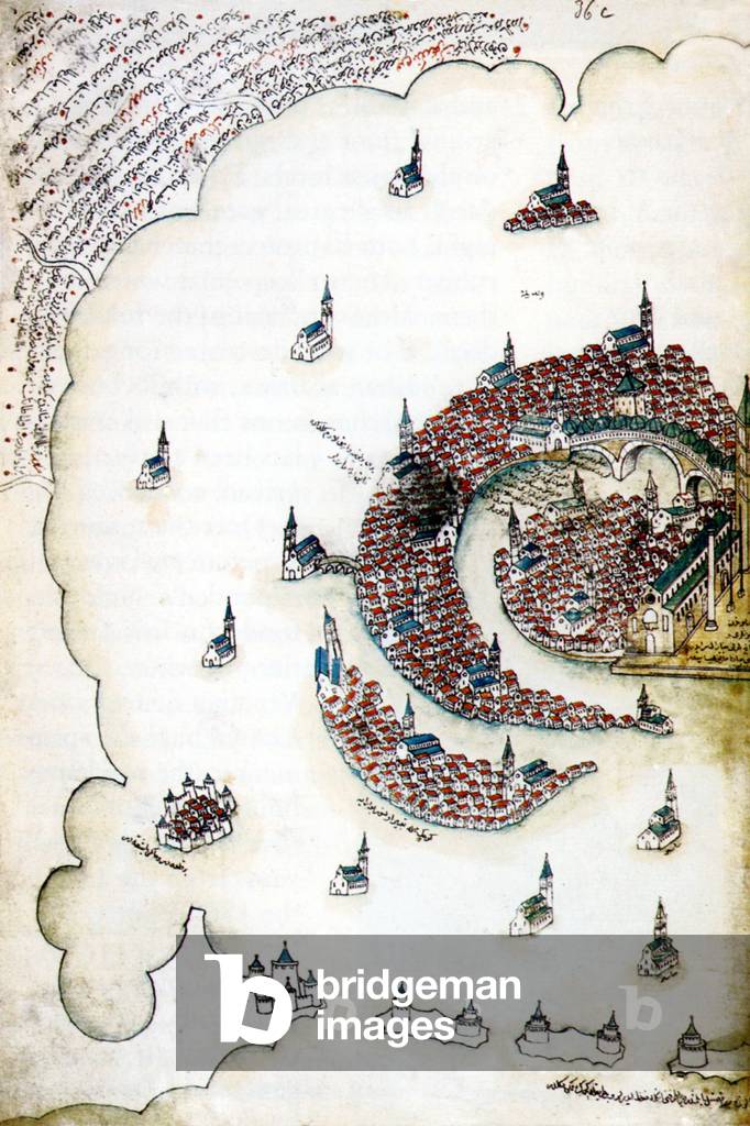
BL3298219 Vinegia. A map of VeniceVenitia, Italy. Language: ItalianSource/Shelfmark: 10027.h.6 FiiPublished in 1565.
DC
CH1195485
DC
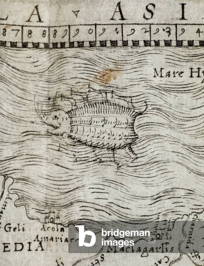
BL3327361 Ptolemeo. La Geografia di Claudio Ptolemeo ... Con alcuni comenti & aggiunte fattevi da S. Munstero ... Con le tavole non solamente antiche & moderne ... ma altre nuove aggiuntevi di ... I. Gastaldo ... ridotta in volgare Italiano da M. P. A. Mattiolo ... Con l'aggiunta d'infiniti nomi moderni, di citta, Provincie, Castella, et altri luoghi, fatta ... da esso ... I. Gastaldo, etc.Author: Ptolemy, Claudius / Venetia: G. B. Pedrezano, 1548Language: ItalianSource/Shelfmark: Maps C.1.a.3.(5)
DC
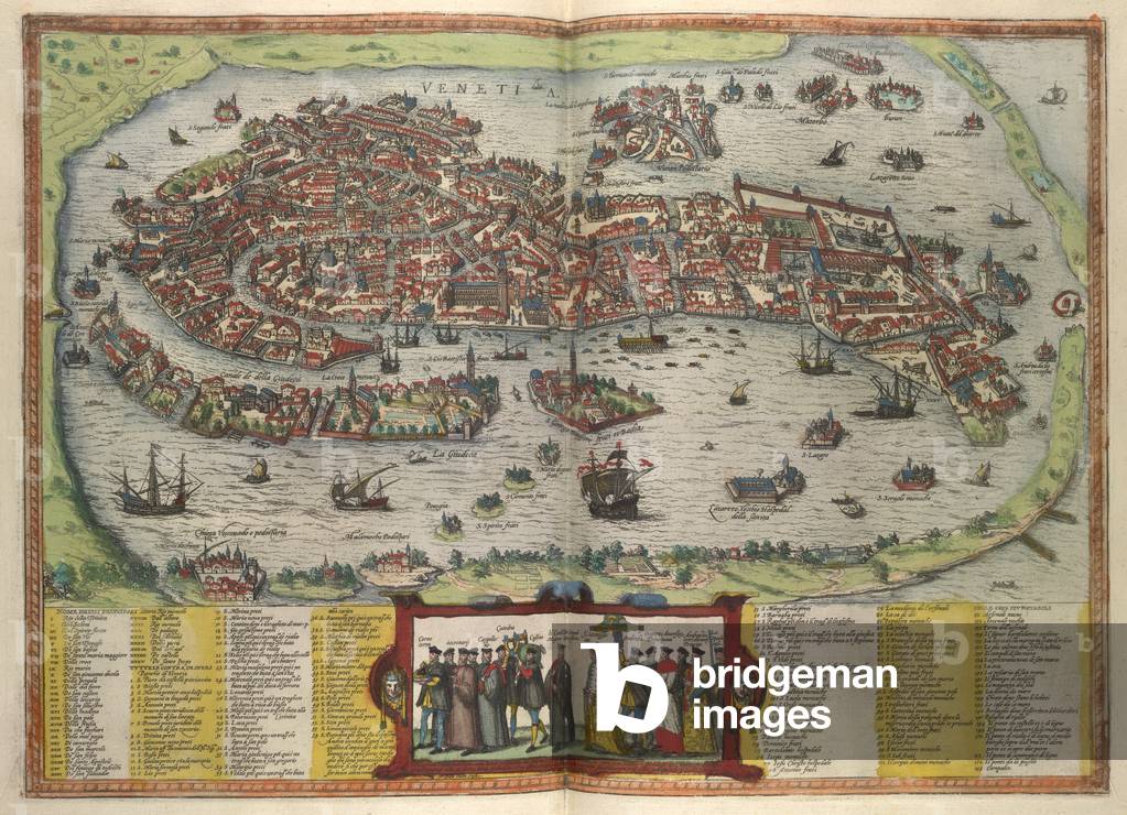
BL3280402 [[Ciuitates orbis terrarum Liber primus.] [The dedAuthor: Braun, Georgius; Hohenberg (Franz) / 1582Source/Shelfmark: 215.f.1, 43View of Venice.Image taken from [[Ciuitates orbis terrarum Liber primus.] [The dedication signed: G. Bruin, S. Novellanus, F. Hogenburgius.] MS. notes.].Originally published/produced in 1582.
DC
BL3327340 Isola di Cipro Illustrator: Franco, Giacomo[Venice?], [ca. 1570-1571] Source/Shelfmark: Maps K.Top.114.75
DC
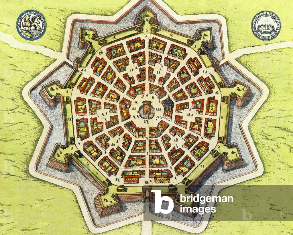
PFH4072149 Palmanova is a town and municipality in northeastern Italy. It is an excellent example of a bastion / star fort of the design favoured in the Late Renaissance era. First built by the Venetians in 1593, the fort-town was designed by Vincenzo Scamozzi. A second phase of construction occurred between 1658 and 1690, with final fortifications completed under the Napoleonic domination of 1806-1813.
DC
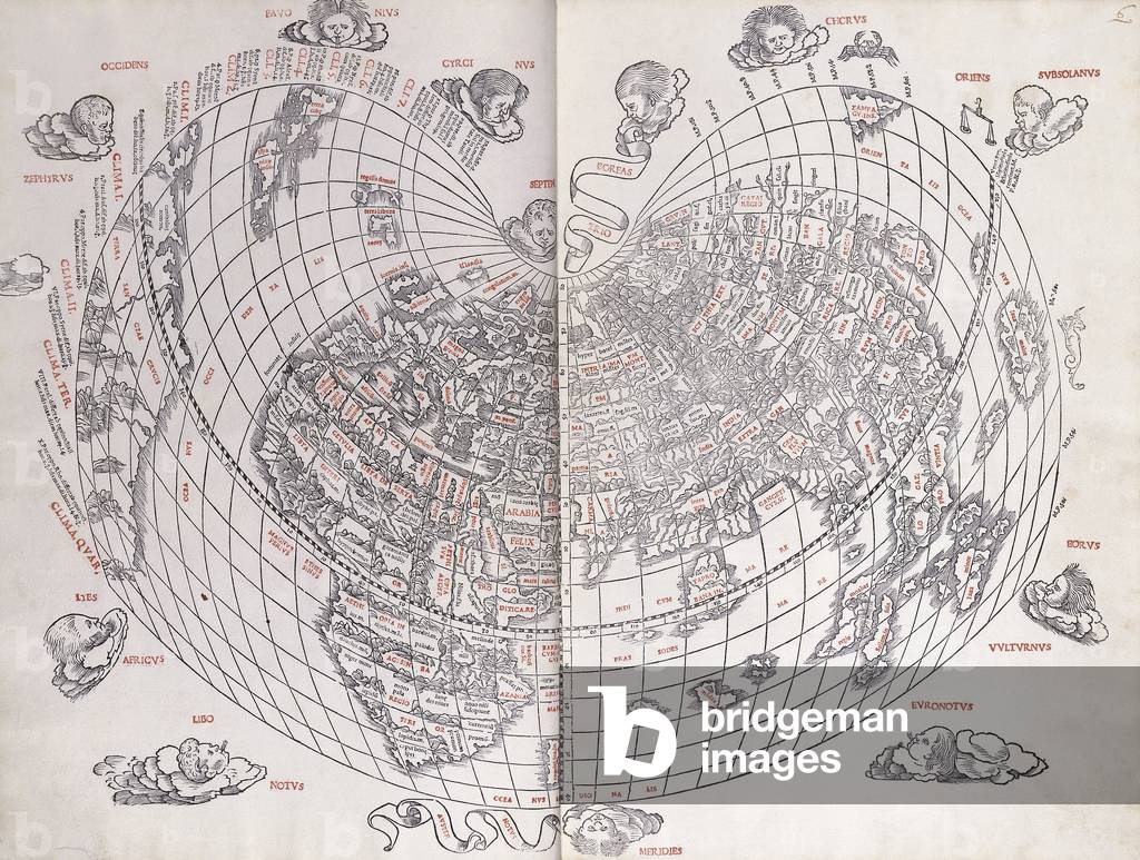
CH985939 A Map of the World. A double-page from Ptolemy's 'Liber Geographie cum tabulis et universali figura' edited by Bernardinus Sylvanus of Basle. Woodcut, red and black ink. Published in 1511. 42.5 x 28.5cm. First Venetian edition of Ptolemy's 'Geographia', and the second printed world map to show America.
DC
BL3327363 Ptolemeo. La Geografia di Claudio Ptolemeo ... Con alcuni comenti & aggiunte fattevi da S. Munstero ... Con le tavole non solamente antiche & moderne ... ma altre nuove aggiuntevi di ... I. Gastaldo ... ridotta in volgare Italiano da M. P. A. Mattiolo ... Con l'aggiunta d'infiniti nomi moderni, di citta, Provincie, Castella, et altri luoghi, fatta ... da esso ... I. Gastaldo, etc.Author: Ptolemy, Claudius / Venetia: G. B. Pedrezano, 1548Language: ItalianSource/Shelfmark: Maps C.1.a.3.(1)
DC
LSE4102206 Map of the compasssole from a 16th century atlas, based on the original preserved in the library of the Museo Civico in Venice
DC
XOT330959
DC
UIG3599997 Map of the Lombardy region (Italy) with the cities of Milan, Verona, Padua, Mantua, Parma, Modena, Bologne and Venice. Italian engraving from the 16th century.
DC
RGS63413 Asia Minor, from the "Portolan Atlas of the World", by Battista Agnese of Venice, c.1540;
DC
AAE11803639 Navigational map depicting the Mediterranean, Black Sea, Atlantic (north-west extending to ‘Isla de Brazill’; south-west to Canaries), North Sea to ‘Costa de Frixa’, and the Red Sea. By Baldassare Maggiolo
DC
CH986047 Portolan Chart of the World. Dolfin Bonaldo (16th century). Brown Ink with Ochre wash, vellum laid down on board. Executed in Venice, 1519. 48.5 x 49cm.
DC
PFH1165995 For centuries Venice was Europe's prime trading partner with the Middle East and the Byzantine Empire in particular. Venetian naval and commercial power was unrivalled in Europe until it lost a series of wars to the Ottoman armies in the 15th century. The city lost some 50,000 people to the Black Death in 1575-77, but remained a major manufacturing center and port well into the 18th century.
DC
CPH385149 Giovanni Caboto (c.1450-c.1499) Italian navigator and explorer; In 1497 he landed on Newfoundland and discovered North America, with the sponsorship of Henry VII of England (ruled 1457-1509); In the Scala dello Scudo in the Doge's Palace;
DC
BL3298226 Chiozza / [Benedetto Bordone].Author: Bordone, Benedetto / Venice, Italy Language: ItalianSource/Shelfmark: 10027.h.6 GBordone, Benedetto, 1450-1530 [Venetia: Francesco di Leno, 1565?].
DC
BL3957366 Elaborabat F. Demongenet. [Engraved by] E. V[ico] [Venice], [1544?]
DC
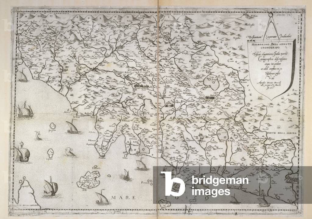
BL3279316 Tusciae, elegantioris Italiae partis corographia .Venice: Donatto Bertellj, [1580?]Source/Shelfmark: Maps.*23380.(2),Map of Italy.Image taken from Tusciae, elegantioris Italiae partis corographia H. Bellarmato cosmografo.Originally published/produced in Venice: Donatto Bertellj, [1580?].
DC
GIA4694524 Map of the Venice Arsenal, 1580. Correr Museum. Venice
DC
GIA4742958 Map of the Venice Arsenal in 1580.
DC
FTB64063
DC
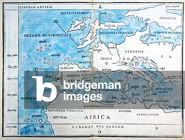
CHT694842 One of the earliest printed maps of Europe, from the 'Isolario ('Book of Islands') of Bordone, printed by Nicolo d'Aristotile and published in Venice. 'Isolario di Benedetto Bordone nel qual si ragiona di tutte l'isole del mondo, con li lor nomi antichi &​ moderni, historie, fauole, &​ modi del loro viuere &​ in qual parte del mare stanno, &​ in qual parallelo &​ clima giacion'. Intended as an illustrated guide for sailors and included all the known new discoveries.
DC
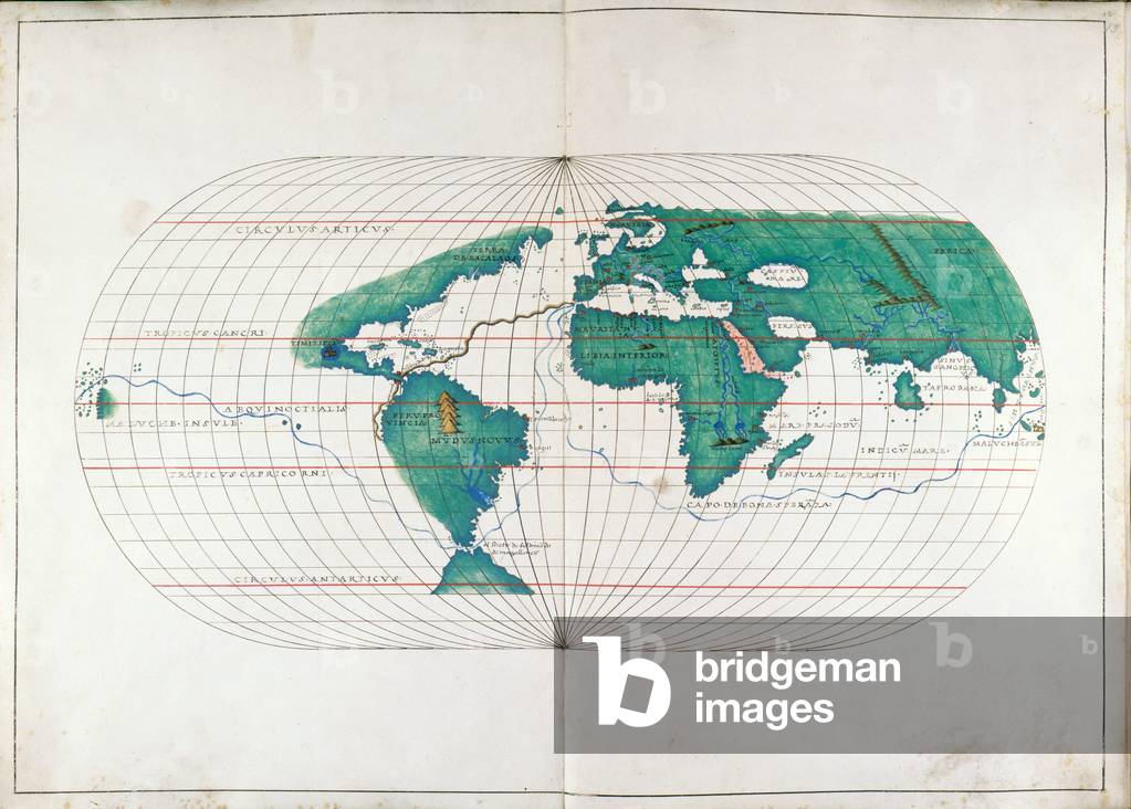
BL3262002 Portolan AtlasAuthor: Agnese, Battista / Italy [Venice]; 1536Language: LatinSource/Shelfmark: Add. 19927, ff.12v-13[Whole map] Map of the world showing the route of Magellan's circumnavigation and route from Polosi to Seville [1519-1522]Image taken from Portolan Atlas.Originally published/produced in Italy [Venice]; 1536.
DC
UIG2901880 Founded by Greeks from Corcyra - Corinth; passed to Illyrians (312 BC), then Romans; was besieged often, by Ostrogoths (481), Bulgars (10th cen.), Normans (1082), Byzantines (1185), Venice (13th cen.).
DC
XOT330918
DC
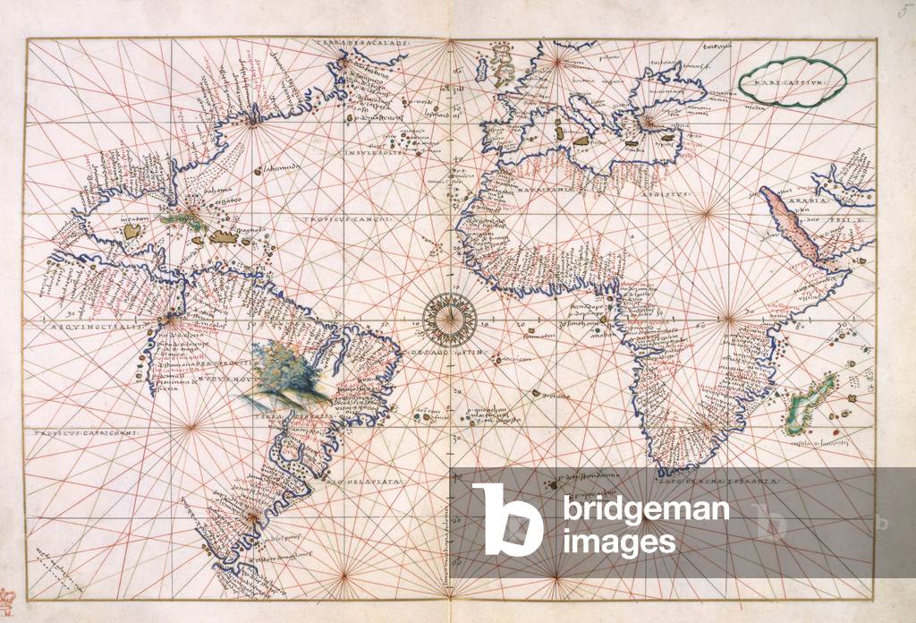
BL3261461 A Portolan atlasAuthor: Agnese, Battista (?) / Venice, circa 1540Source/Shelfmark: Add. 18154, ff.4v-5Chart of the western hemisphere including the east coast of America, the Atlantic Ocean, Europe and Africa.Image taken from A Portolan atlas.Originally published/produced in Venice, circa 1540.
DC
XOT330917
DC
XOT330916
DC
BDL9027625 Portolan - Carta Da Navigar. MS. Canon. Ital. 143, p.2. Portolan chart of the central and western Mediterranean and part of the Atlantic; In a codex of five manuscript charts in the Catalan style, Made by Bartolomeo Olives of Mallorca, Venice, 1559
DC
BDL9027630 Portolan - Carta Da Navigar. MS. Canon. Ital. 143, p.7. Portolan chart of the central and western Mediterranean and part of the Atlantic; In a codex of five manuscript charts in the Catalan style, Made by Bartolomeo Olives of Mallorca, Venice, 1559
DC
BDL9027624 Portolan - Carta Da Navigar. MS. Canon. Ital. 143, p.3. Portolan chart of the central and western Mediterranean and part of the Atlantic; In a codex of five manuscript charts in the Catalan style, Made by Bartolomeo Olives of Mallorca, Venice, 1559
DC
BDL9027631 Portolan - Carta Da Navigar. MS. Canon. Ital. 143, p.10. Portolan chart of the central and western Mediterranean and part of the Atlantic; In a codex of five manuscript charts in the Catalan style, Made by Bartolomeo Olives of Mallorca, Venice, 1559
DC
BDL9027628 Portolan - Carta Da Navigar. MS. Canon. Ital. 143, p.8. Portolan chart of the central and western Mediterranean and part of the Atlantic; In a codex of five manuscript charts in the Catalan style, Made by Bartolomeo Olives of Mallorca, Venice, 1559
DC
BDL9027629 Portolan - Carta Da Navigar. MS. Canon. Ital. 143, p.5. Portolan chart of the central and western Mediterranean and part of the Atlantic; In a codex of five manuscript charts in the Catalan style, Made by Bartolomeo Olives of Mallorca, Venice, 1559
DC
BDL9027626 Portolan - Carta Da Navigar. MS. Canon. Ital. 143, p.4. Portolan chart of the central and western Mediterranean and part of the Atlantic; In a codex of five manuscript charts in the Catalan style, Made by Bartolomeo Olives of Mallorca, Venice, 1559
DC
BDL9027627 Portolan - Carta Da Navigar. MS. Canon. Ital. 143, p.6. Portolan chart of the central and western Mediterranean and part of the Atlantic; In a codex of five manuscript charts in the Catalan style, Made by Bartolomeo Olives of Mallorca, Venice, 1559
DC
BDL9027632 Portolan - Carta Da Navigar. MS. Canon. Ital. 143, p.9. Portolan chart of the central and western Mediterranean and part of the Atlantic; In a codex of five manuscript charts in the Catalan style, Made by Bartolomeo Olives of Mallorca, Venice, 1559
DC
BDL9027622 Portolan - Carta Da Navigar. MS. Canon. Ital. 143, p.1. Portolan chart of the central and western Mediterranean and part of the Atlantic; In a codex of five manuscript charts in the Catalan style, Made by Bartolomeo Olives of Mallorca, Venice, 1559
DC
GIA4784046 Representation of the Canary Islands. Isolario (map of islands) by Benedetto Bordone. Venice 1547
DC
FTB60823
DC
GIA4784030 Representation of the islands of Cape Verde. Isolario (map of islands) by Benedetto Bordone. Venice 1547
DC
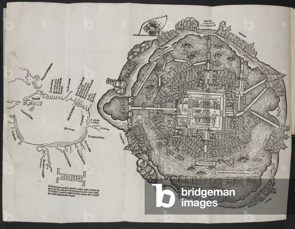
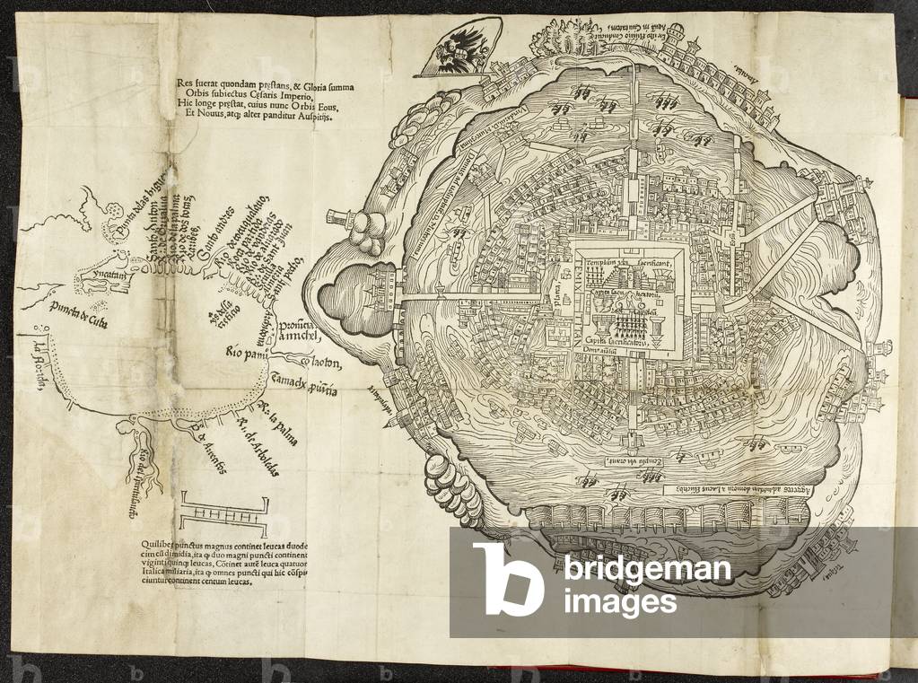
BL3741537 This woodcut has two separate elements: a chart of the Gulf of Mexico in which south is at the top, and a plan-view of the Aztec capital Tenochtitlán (here Temixtitan). In keeping with the roughly circular form of the city, the plan is essentially a rotational bird’s-eye view. Its consistent viewpoint is the great central square with its Aztec temple (complete with the heads of sacrificial victims), bordered on one side by Montezuma’s palace.
DC
GIA4784066 Representation of the island of Jamaica. Isolario (map of islands) by Benedetto Bordone. Venice 1547
DC
XOT330929
DC
GIA4784032 View of the island of Cuba. Isolario (map of islands) by Benedetto Bordone. Venice 1547
DC
CH8436420 Double-page woodcut map, fully coloured by a contemporary hand, oriented with west to the top[Venice: Giunti, 1565]
DC
REV345837 plan de Venise, publie a Bale;
DC
BL4065293 This woodcut has two separate elements: a chart of the Gulf of Mexico in which south is at the top, and a plan-view of the Aztec capital Tenochtitlán (here Temixtitan). In keeping with the roughly circular form of the city, the plan is essentially a rotational bird’s-eye view. Its consistent viewpoint is the great central square with its Aztec temple (complete with the heads of sacrificial victims), bordered on one side by Montezuma’s palace.15242 maps on 1 sheet : b&w ; 16.5 x 16 cm. & 30 x 31 cm., on sheet 34 x 46 cm., folded to 28 x 19 cm.; Scale not given.
DC
GIA4784022 Representation of the Caribbean Islands and the coasts of Venezuela. Isolario (map of islands) by Benedetto Bordone. Venice 1547
DC
XOT330911
DC
XOT330931
DC
XOT330933
DC
XOT330930
DC
XOT330914
DC
XOT330934
DC
XOT330932
DC
XOT330912
DC
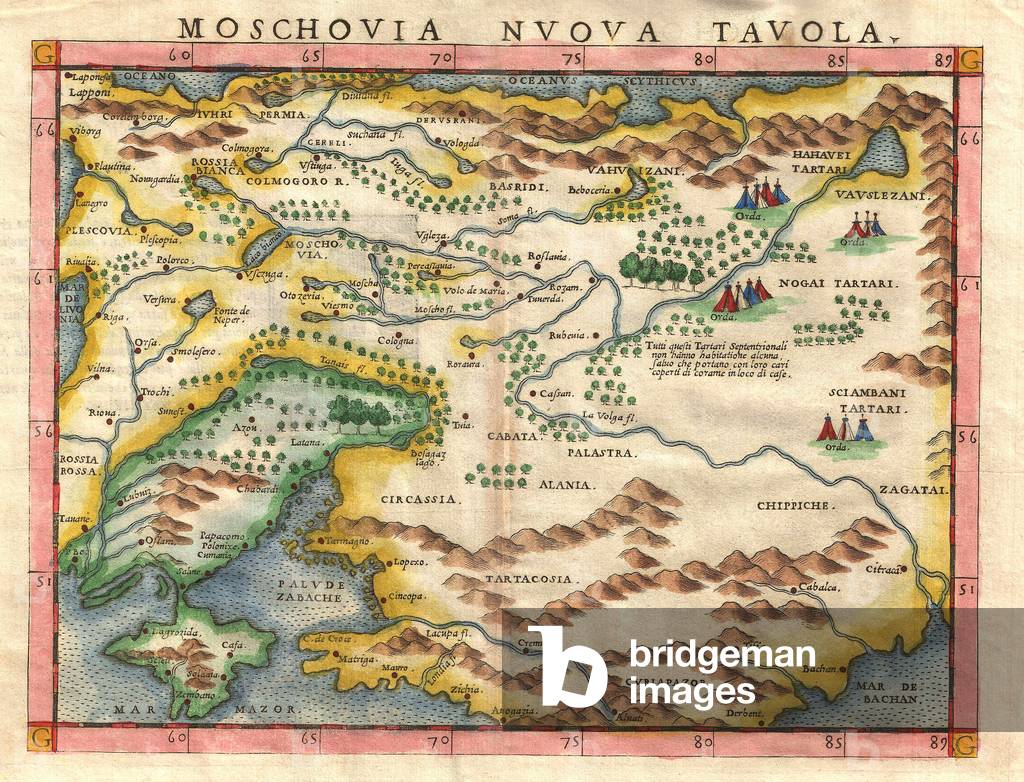
PFH5846109 Girolamo Ruscelli (1500s-1566) was an Italian cartographer, editor, humanist and polymath who primarily worked and lived in Venice during the early 16th century. Ruscelli founded an 'Academy of Secrets' in Naples in the 1540s, composed of humanists and noblemen; the academy was the first recorded example of an experimental scientific society. His best known work is a significant and important revision to Ptolemy's Geographia, published posthumously in 1574.
DC
XOT330915
DC
XOT330913
DC
XOT330910
DC
XOT330928
DC

Total de Resultados: 65

Página 1 de 1