




















































alb15432983
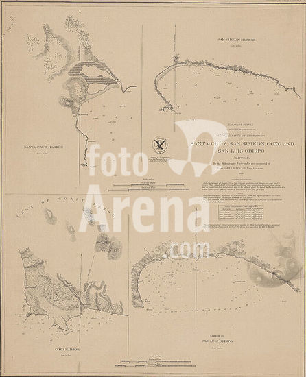
A reconnaissance map detailing the harbors of Santa Cruz, San Simeon, Coxo, and San Luis Obispo in California, issued by the United States Coast Survey in 1852. The map includes nautical charts and is presented on a single sheet measuring 47 x 38 cm, with four individual maps sized 21 x 20 cm or smaller. The lower left corner of the NYPL Map Division copy features an accession number stamp 55662.
DC