Busque também em nossas outras coleções:

Data da imagem:
Pauta
Agência
Fotógrafo
Estado
Cidade
Local
Tipo de licença
Orientação
Coleção

Total de Resultados: 7

Página 1 de 1

00994670 "Cartography, map of Cape Verde Islands, Spain Atlantic Ocean, in ""Atlas Novus"", by Johannes Janssonius and Henricus Hondius, 1638 - 1646"
DC
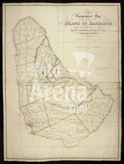
alb4080971 A topographical map of the island of Barbados. A Topographical Map of the Island of Barbados, based upon Mayo's original Survey in 1721, and corrected to the year 1846. By Sir R. H. Schomburgk. Scale, 2 inches = one English mile. London, 1847. Source: Maps 71495.(42.). Language: English. Author: Mayo, William.
DC
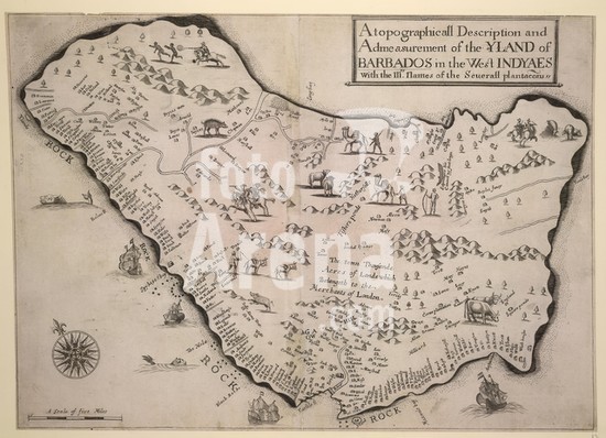
alb4058100 A topographical description and and measurement of the island of Barbados in the West Indies. A Topographical Description and Admeasurement of the Yland of Barbados in the West Indyaes. With the Mrs Names of the Seuerall plantacons. A Scale of five miles = 89 mm. London : Humphrey Moseley, 1657. Source: Maps K.Top.123.114. Language: English.
DC
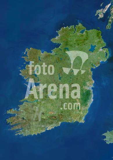
913_03_PO00024 Ireland, True Colour Satellite Image. Ireland. True-colour satellite image of Ireland. North is at top. The island's main cities are Dublin (centre right) and Belfast (upper right). Ireland is often called the "Emerald Isle" because of the vivid greenness of its countryside ; this is largely due to the warm, wet winds from the Atlantic Ocean to the West. Topographically, the island is shaped like a basin, having lowlands in its centre & hilly ranges around its coastline. Ireland has many lakes, including the largest in the British Isles, Lough Neagh (at upper right). The longest river in the British Isles, the Shannon, empties into a long, narrow estuary at lower left. Image taken by the Landsat-5 satellite.
DC
00523391 cartography, historical map, modern times, slave trade, 18th / 19th century,
DC
00356798 geography / travel, Portugal, Madeira, topographic map, 1958,
DC
00356847 geography / travel, Spain, Canary Islands, Tenerife, topographic map, 1958,
DC

Total de Resultados: 7

Página 1 de 1